

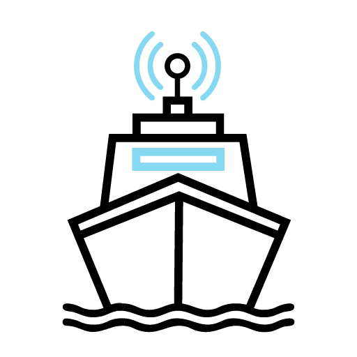
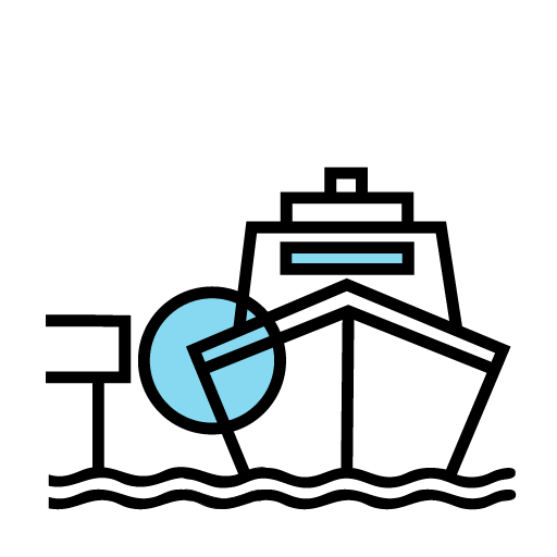
EXPERIENCE THE FUTURE OF MARITIME NAVIGATION with dotOcean's Autonomous Navigation System. Engineered for smarter and safer operations, our cutting-edge software enables vessels to autonomously navigate in ports, coastal regions and open seas with precision to execute your mission.
Contact Us
Data from all sensors is captured and processed directly onboard for real-time autonomy even without cloud connection.
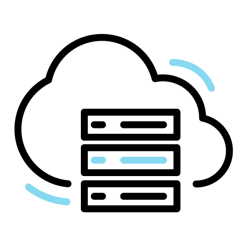
Mission data is sent to the dotOcean Cloud for live visuals from the maritime situational picture.
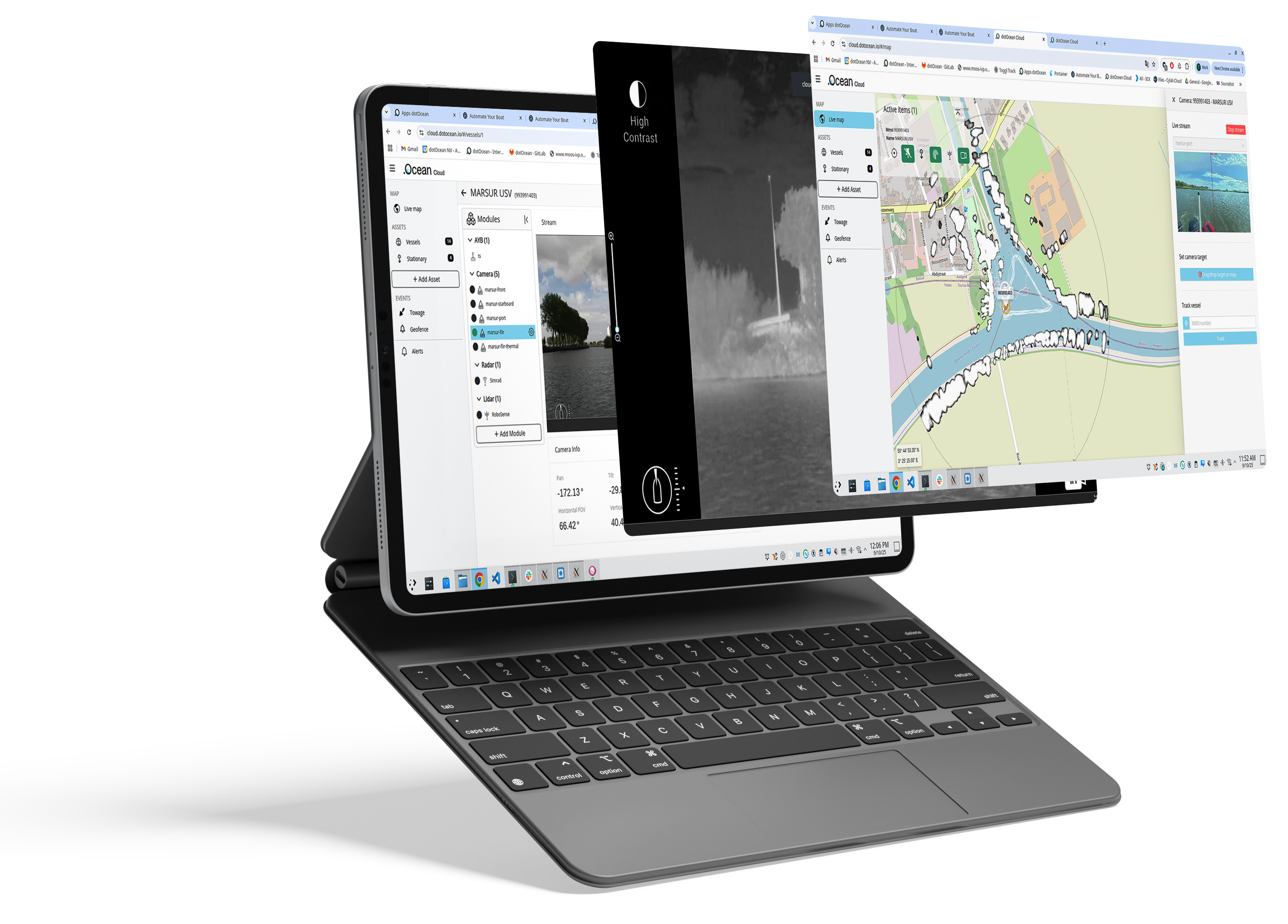
The dotOcean Cloud enables remote BVLOS operation of AYB-enabled USVs with adaptive live video streaming, ensuring continuous visuals even over low bandwidth communication channels. It highlights detected objects using augmented reality and streams onboard camera, radar and LIDAR data. A situational awareness screen integrates AIS targets, radar objects and raw radar overlays on nautical charts. Additional features include remote vessel health monitoring, historical data access and fleet management.
Quickly generate optimized mission plans with automated route generation and obstacle avoidance, reducing preparation time and operational complexity.

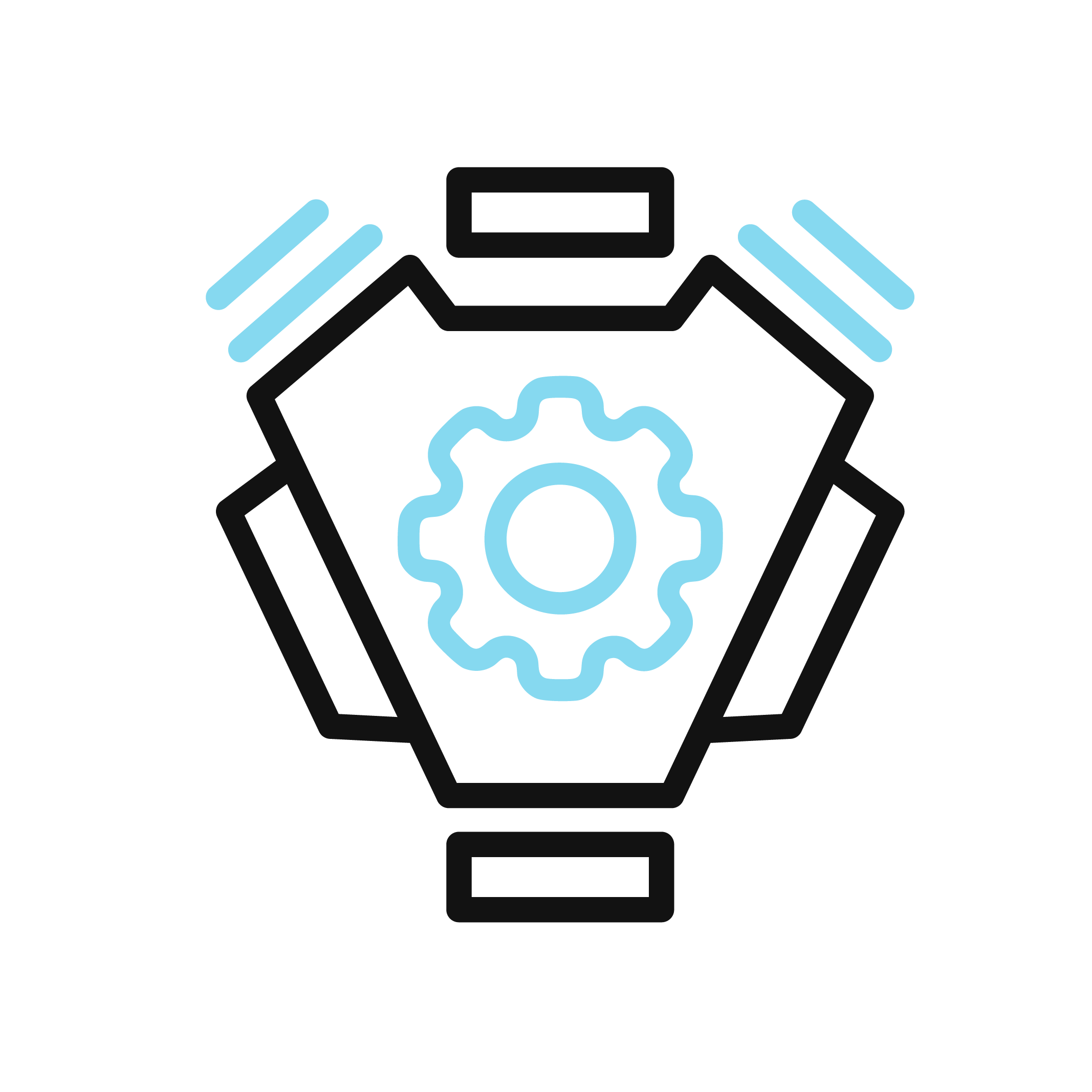
Intelligent decision-making predicts vessel and obstacle movements in real time, enabling safe and efficient navigation even in complex environments.
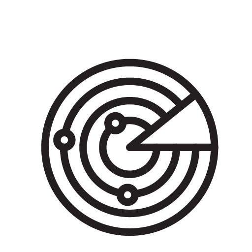
 Enhanced Situational Awareness
Multi-sensor data fusion combines radar, AIS, cameras, and environmental data to give operators a complete and reliable view of the maritime environment.
Flexible Human SupervisionOperators can seamlessly switch between manual control and remote supervision through intuitive interfaces, ensuring full oversight of autonomous missions.
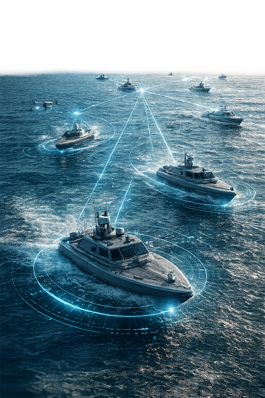
Manage and supervise multiple USVs simultaneously, enabling scalable operations and higher mission efficiency.
Our AYB app is the ultimate tool for remotely operating and monitoring our autonomous vessels. With a user-friendly interface, the app allows you to control the boats’ movements in real time, adjust their routes and oversee their operations online from anywhere.
Beyond control, the AYB app collects and visualizes essential data, including navigation metrics, environmental conditions and operational performance.
Whether you're managing a fleet or monitoring a single vessel, the AYB app combines convenience, precision and actionable insights to enhance maritime operations.
The AYB app can either be installed on an Android tablet or can be run as a web app on a laptop connected to the internet (or a local cloud).

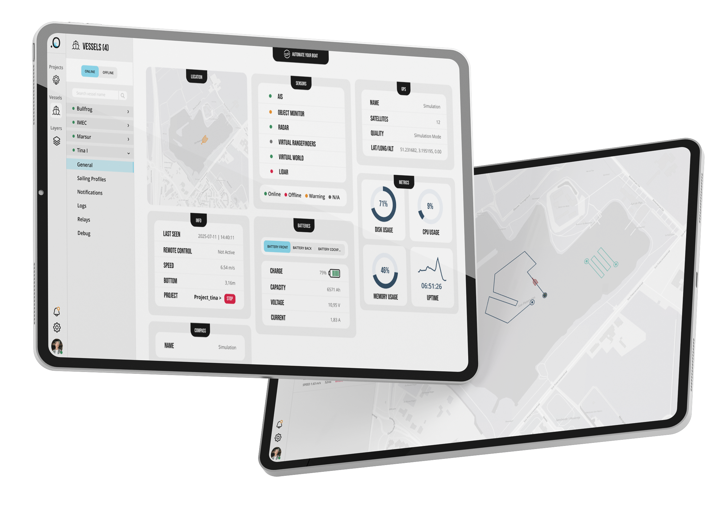
With the AYB App, the operator can plan, adjust and control missions in real time from one interface.

Automatically follows moving targetsor navigates to selected points ofinterest.
Navigates safely among other vessels following maritime rules.
Detects and avoids objects in realtime.
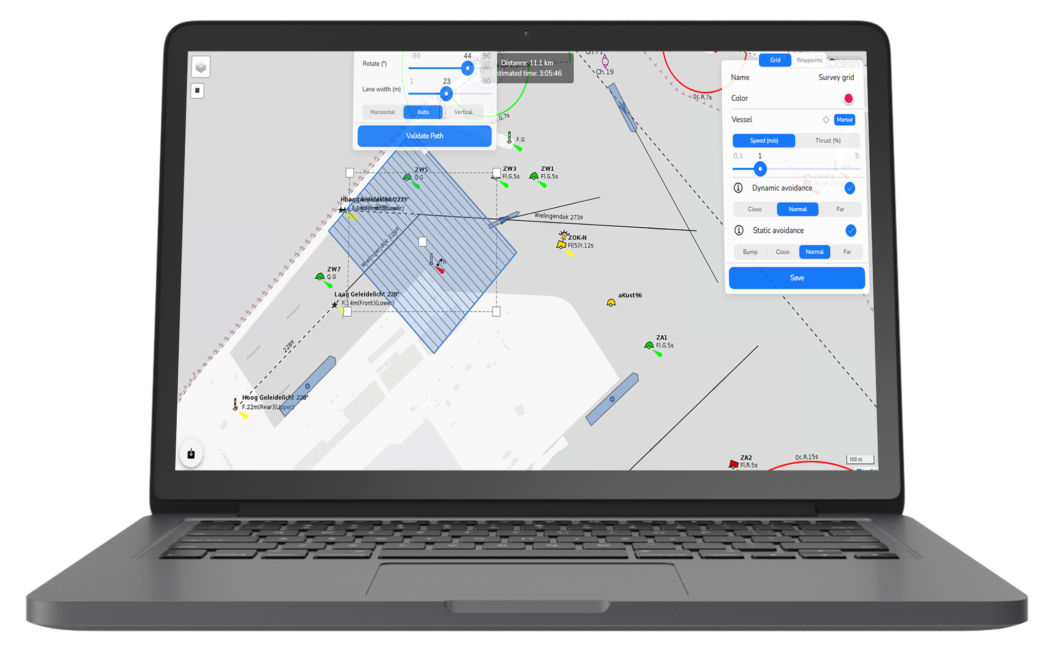
Plans and executes optimized routesand survey grids automatically.
Coordinates actions between multiple autonomous units from one single screen.
Continuously monitors system health.
The Echodrone is an innovative unmanned surface vessel designed for survey operations in ports. Its primary function is to conduct regular depth measurements in areas that are typically challenging for manned vessels to access. Equipped with advanced sensors and navigation systems, the Echodrone autonomously navigates and collects precise depth data, providing valuable information for port management and maintenance.
dotOcean collaborates with GEOxyz to realize this achievementIt can navigate shallow waters, collect data from both the seafloor and water column. Its stable platform ensures high-quality data collection for various applications such as marine research, environmental monitoring, and hydro-graphic surveying. Overall, it autonomously conducts surveys, enhancing safety, affordability and data quality in marine operations.


It can navigate shallow waters, collect data from both the seafloor and water column. Its stable platform ensures high-quality data collection for various applications such as marine research, environmental monitoring, and hydro-graphic surveying. Overall, it autonomously conducts surveys, enhancing safety, affordability and data quality in marine operations.
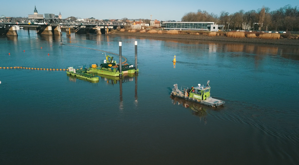
The Marine Litter Hunter is a fully autonomous vessel designed to transport litter from a collection trap to the shore. It features autonomous docking capabilities and relies on situational awareness data from camera's and radars installed on a bridge, this data is validated through the onboard sensors.
Marine contractor builds own vessel.A marine contractor build their own vessel according to their requirements. dotOcean helped choosing motors and GPS.By adding the AYB unit, this marine contractor is now able to execute his own surveys and get real-time depth maps on his tablet. This greatly reduced their operational costs per construction site.
dotOcean is excited for it’s collaboration with the Belgian Navy and the Royal Military Academy on the groundbreaking Triple Helix research project.The Marsur created by dotOcean and RMA is an autonomous maritime vessel designed to enable operations with multiple heterogeneous unmanned maritime assets. Its capabilities include autonomous navigation, remote control, and coordination with other unmanned vehicles. The Marsur is equipped with advanced sensors, communication systems, and onboard processing capabilities, allowing it to operate effectively in various maritime environments.


.png)